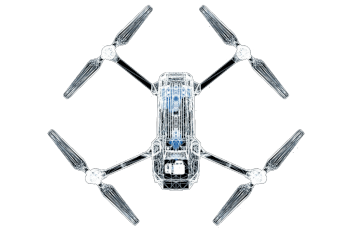
Geospatial data survey
We offer all kinds of geospatial data survey services: Topography, airborne sensors (airplane, helicopter, drone), terrestrial (car, on foot). We use our own resources or work with approved partners to reach any part of the world.
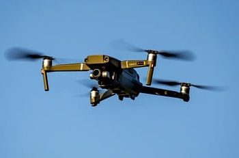
drones
For small study areas, we have our own equipment for conducting photogrammetry, LiDAR, multispectral, and thermal flights.
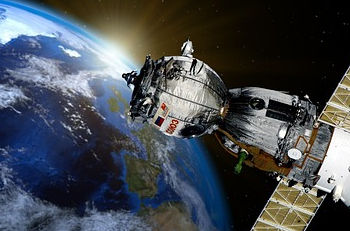
satellite
It is also possible to purchase high-resolution satellite images for any area worldwide or schedule a specific capture.
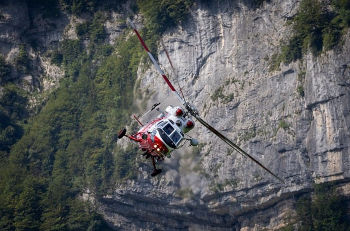
helicopter
For projects covering long corridors, it is more cost-effective to use a helicopter equipped with LiDAR sensors, RGB or thermal cameras.
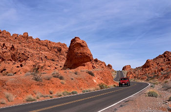
car
For certain types of road or city inventories, it is more convenient to survey data using a mobile mapping system in a car.
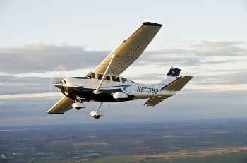
airplane
To cover large areas of territory with lower densities and resolutions, it is more convenient to use airborne sensors on an airplane.
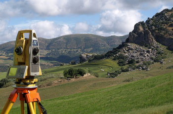
Topography
Data surveys need adjusting accuracies with topography. We can also capture photos or video on foot for inventories or inspections.