
geospatial data processing
DIELMO offers processing services for any type of geospatial data (LiDAR, photogrammetry, vector mapping, GIS, etc.) and develops tailored solutions to optimize processes.
We work for end clients as well as data capture companies that prefer to delegate the generation of final products to an external specialized company.
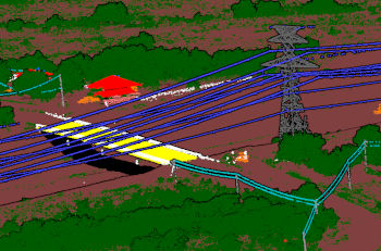
LiDAR classification
We begin with automatic classification using AI, with different levels of manual editing depending on the needs of each project, classifying up to 200 classes.
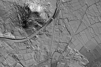
digital elevation models
We create different versions of elevation models (DSM, DTM with and without buildings, DTM with and without bridges) for multiple applications.
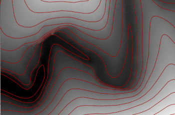
contour lines
From a DTM, we extract contour lines at different intervals, with appropriate smoothing to ensure aesthetic appeal, including break lines if necessary.
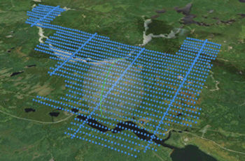
photogrammetry
Generation of orthophotos, stitching line review, accuracy validation with control points, densified point clouds, and 3D object generation.
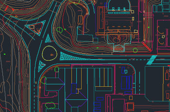
2D/3D vector mapping
Using photogrammetry or LiDAR, we generate precise digital mapping or planimetry with customized layers and detail levels for each project.
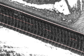
mobile mapping
From LiDAR data captured from cars, we can also create various products such as classification, DTM, contour lines, vector mapping, inventory, etc.
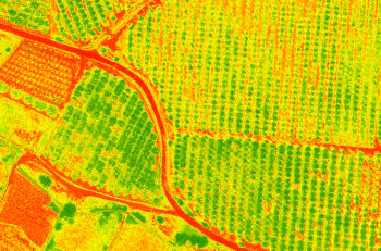
vegetation indices
From satellite images or drone flights, we can generate different types of vegetation indices for precision agriculture.
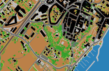
land use maps
Using satellite images, orthophotos, or LiDAR data, we can create different types of crop and land use maps.
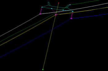
2D/3D asset vectorization
We can locate and vectorize the position of towers, cables, attachment points, cable height, etc., and generate lean or distance reports from there.
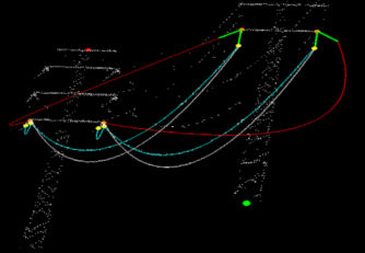
PLS-CADD modeling
Using LiDAR data, cable material, and ambient temperature, we can conduct simulations at maximum temperature or wind.
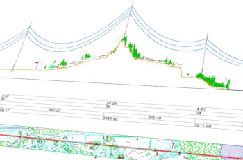
CAD profiles
Custom CAD profiles generation for corridors including orthophotos, planimetry, LiDAR data, or 3D vectors.
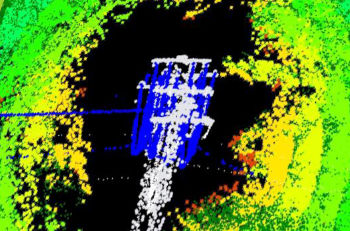
Custom distance reports
With over 500,000 km of experience, we generate reports on minimum distances to vegetation, ground, roads, etc.