Solutions for Infrastructure
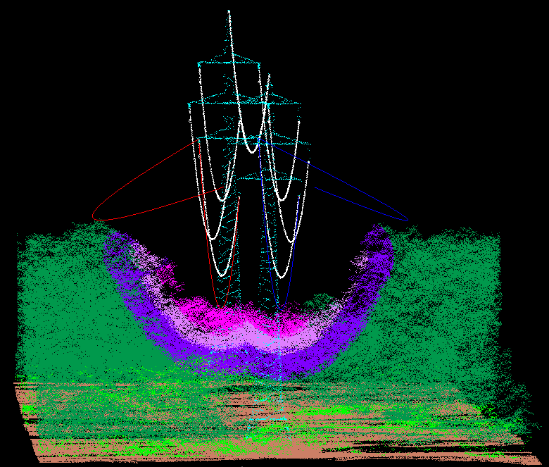
DIELMO 3D has over 500.000 km of international experience providing customized services for inventory and maintenance of infrastructures such as transmission and distribution power lines.
We work for both end clients and data capture companies that prefer to delegate the generation of final products to a specialized external company.
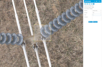
visual inspection
We have developed our own cloud-based SaaS platform for conducting all types of visual inspections of assets.
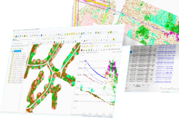
distance reports
Extensive experience in generating reports on minimum distances to ground, roads, buildings, crossing wires, etc.
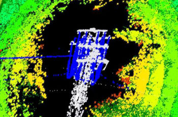
offending vegetation
We have over 500,000 km of experience in projects for maintaining hazardous vegetation near infrastructures.
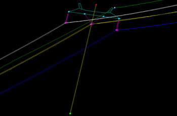
2D/3D asset vectorization
We can locate and vectorize the position of towers, cables, attachment points, cable height, etc., and generate lean or distance reports from there.
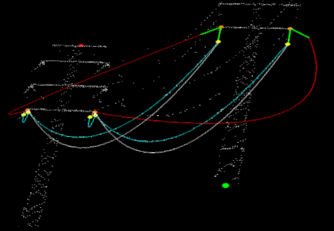
PLS-CADD modeling
Using LiDAR data, cable material, and ambient temperature, we can conduct simulations at maximum temperature or wind.
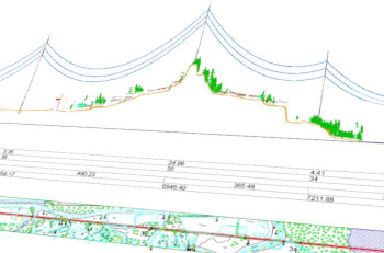
CAD profiles
Custom CAD profiles generation for corridors including orthophotos, planimetry, LiDAR data, or 3D vectors.
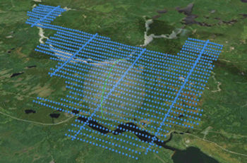
photogrammetry
Generation of orthophotos, stitching line review, accuracy validation with control points, densified point clouds, and 3D object generation.
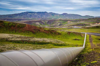
oil and gas
Orthophotos, land use maps, digital terrain models, change detection, visual inspection, etc.
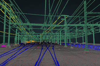
Railway corridors
Topographic surveys of railway corridors, 2D/3D mapping, custom distance reports from different elements, visual inspection, etc.