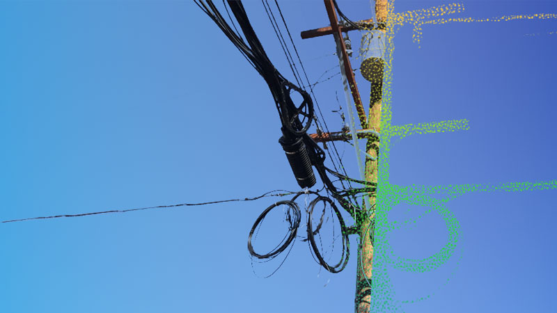
Between 2022 and 2023, DIELMO 3D has processed more than 21,000 miles and 530,000 power distribution poles in Texas, USA, including 2D/3D vectorization of poles, wires, and guy anchors, point cloud classification, and deliverables in PLS-CADD format. This remarkable achievement underscores our capability to engage in substantial projects concerning geospatial data processing.
Recognizing the immense potential of the United States as a market for our data processing services, we are thrilled to announce the establishment of a new entity within the Innovation Side Holding group of companies: DIELMO 3D USA LLC. This strategic move not only signifies our commitment to serving the American market but also reflects our confidence in the demand for our expertise in the region.
The successful completion of the Texas project serves as a testament to our expertise and capabilities in handling large-scale geospatial data processing initiatives. By leveraging advanced technologies and innovative methodologies, we were able to efficiently process extensive amounts of data while delivering high-quality results within specified timelines.
Moreover, establishing a local presence through DIELMO 3D USA LLC enables us to better understand the unique needs and requirements of clients in the American market. This proximity allows us to provide tailored solutions and personalized support, ensuring maximum satisfaction and value for our clients.
Moving forward, we are excited about the opportunities that lie ahead in the United States. Through DIELMO 3D USA LLC, we aim to further expand our footprint in the region, forge strong partnerships, and continue delivering exceptional geospatial data processing solutions that drive success for our clients.

