On October 29th, the Valencian Community experienced one of the most devastating floods in recent years. The severe weather event caused significant damage to municipalities, affecting both infrastructure and the daily lives of thousands of people. At DIELMO 3D, we faced this situation firsthand, as our offices in Xirivella were also impacted.
In response to this crisis, we are placing our technology at the service of public administrations working on flood recovery efforts. We are offering a free one-year subscription to the Dielmo Maps prime plan, our interactive platform for creating customized web maps. This plan includes full technical support and personalized guidance, ensuring that administrations can make the most of the tool’s features.
Dielmo Maps in Action: The Case of Torrent City Council
The Torrent City Council, which has been using our technology for years to manage its territory, is now employing Dielmo Maps to tackle the challenges posed by the flooding. Thanks to this tool, they are centralizing and organizing critical information about the damages caused, optimizing reconstruction planning, and facilitating communication with citizens.

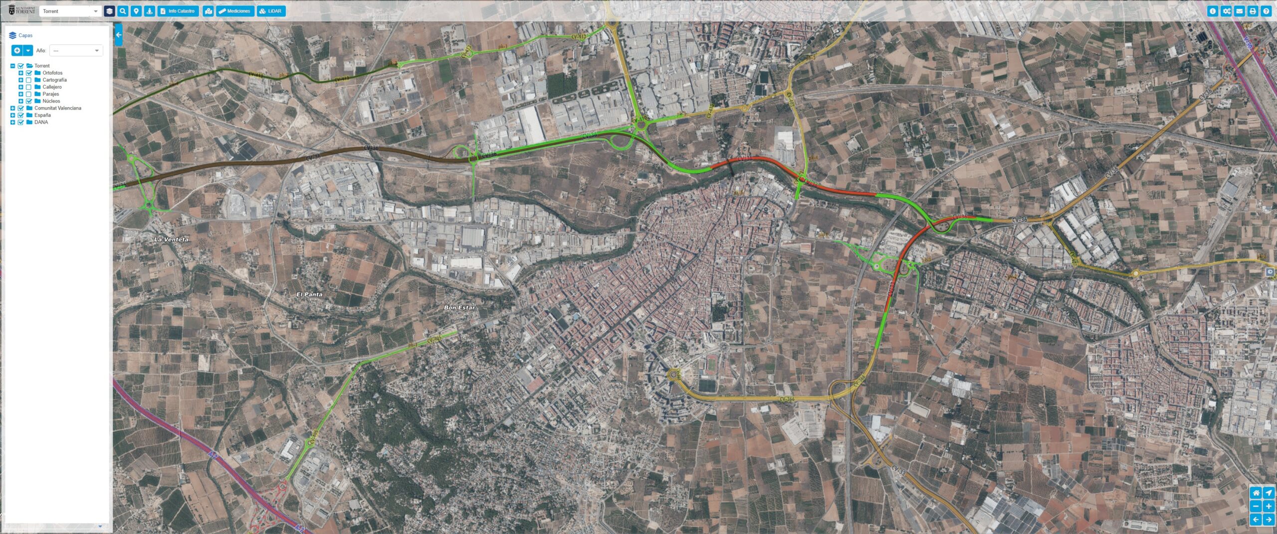
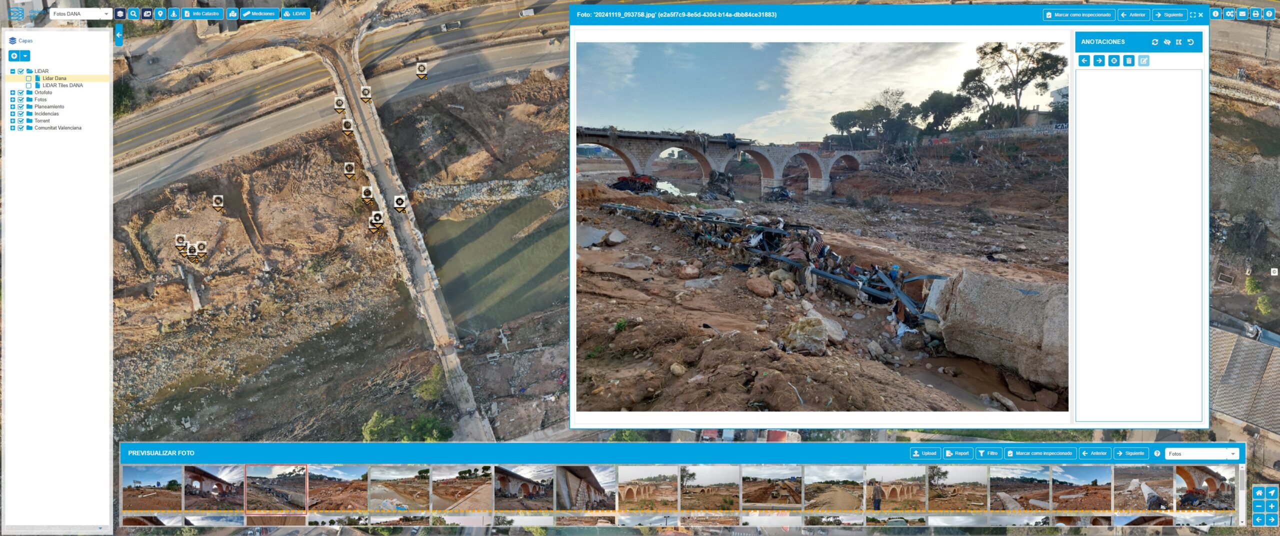
Example of how Torrent City Council uses Dielmo Maps to evaluate flood-related damages (https://geo.torrent.es/).
What Can Dielmo Maps Do?
Dielmo Maps enables the creation of interactive maps that incorporate:
- Georeferenced photos of affected areas.
- Updated data on municipal services and their status.
- Detailed street maps and high-precision 3D point clouds.
- Any type of geospatial information.
Additionally, the platform allows users to upload real-time photos from mobile devices, streamlining the collection of critical information for prioritizing needs, planning tasks, and sharing relevant data with both citizens and technical teams.
A Solution Focused on Simplicity and Speed
Unlike other generic tools, Dielmo Maps provides administrations with full control over shared information, allowing them to manage access permissions and customize content to meet their specific needs. These features make the tool particularly valuable in situations where speed and accuracy are crucial.
Commitment to the Recovery of the Valencian Territory
José Carlos García, CEO of DIELMO 3D, explains:
“Our goal is to provide municipalities with tools that simplify information management because access to cutting-edge technologies is more necessary than ever to advance planning and reconstruction in flood-affected areas. Many of these technologies are right here at home, making them even easier to deploy in these challenging times.”
At DIELMO 3D, we remain committed to leveraging technology for the benefit of society, supporting not only recovery after crises but also the digital transformation of local administrations.
How to Access Dielmo Maps?
Anyone can register at https://maps.dielmo.com/ to get a free 3-month demo. If you are part of a public administration involved in managing flood recovery efforts and want to access the free Dielmo Maps prime plan, contact us. Our team is ready to help you implement the tool and maximize its potential.

