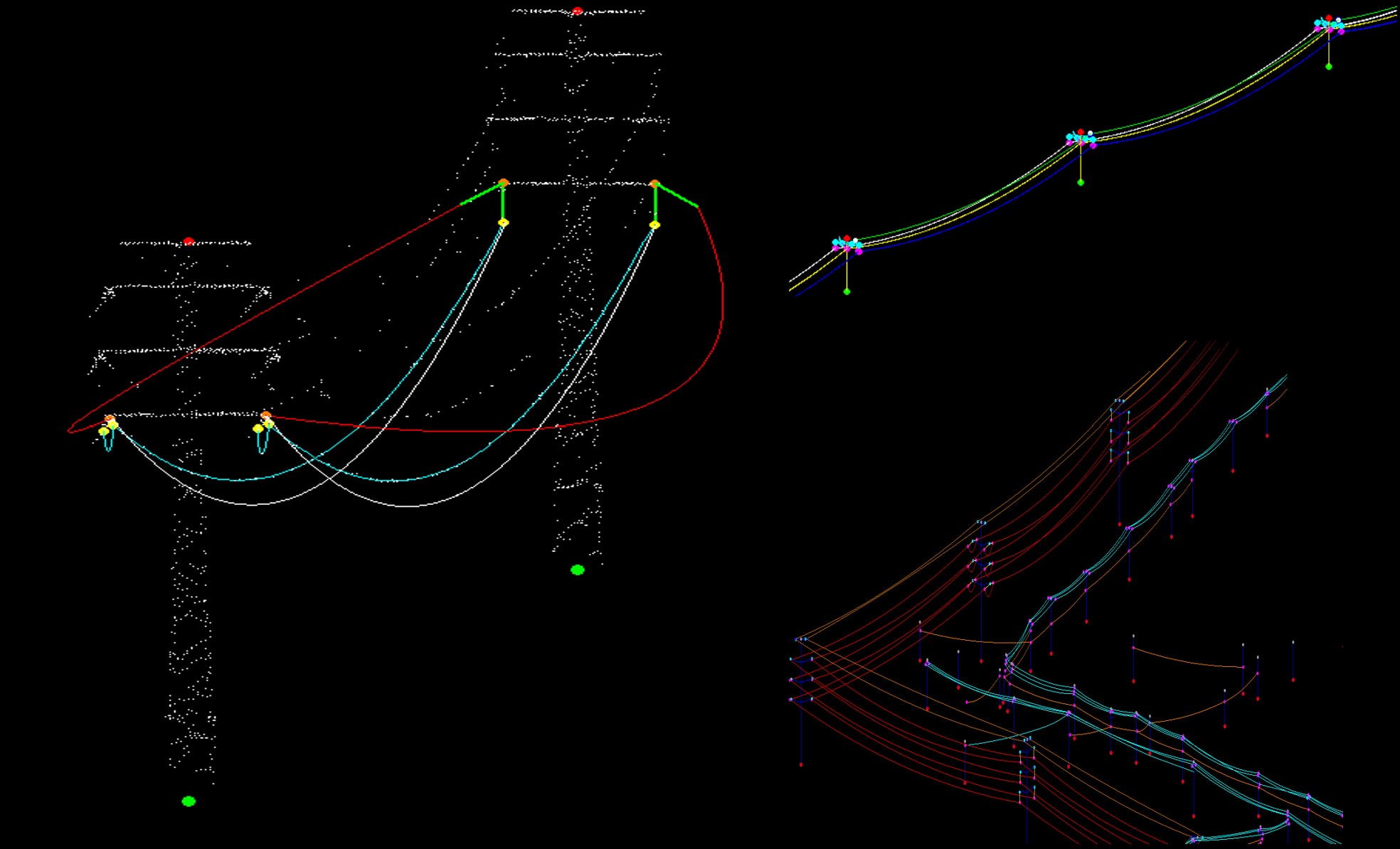
PLS-CADD is a well-established software for designing overhead power lines and has been widely used for simulating conductor behavior under various environmental conditions. This program allows engineers to assess safety clearances to critical elements, considering scenarios such as maximum operating temperature or strong winds. However, despite its global adoption, PLS-CADD has limitations that may make it less viable in certain contexts.
The high licensing costs, complexity of use, and the time required to operate it efficiently are factors that limit its application, especially in maintenance projects for distribution lines covering large areas. In these cases, using PLS-CADD can lead to significant cost increases and delays in delivery schedules. While its comprehensive and sophisticated approach is effective for projects requiring high precision, it may be excessive for tasks that need more straightforward and cost-effective solutions.
Due to these limitations, many operators opt for alternatives that allow them to perform distance calculations and simulations more simply and accessibly. Some prefer to work directly with the LiDAR point cloud, which reflects the actual position of the cables at the time of the flight. However, this method does not account for cable movements due to factors such as wind or temperature, which can compromise the accuracy of distance assessments to vegetation, ground, buildings, crossing wires, etc.
Innovation: The DIELMO 3D alternative
In response to the need for faster and more cost-effective solutions, alternatives have emerged that offer a viable option compared to PLS-CADD. One such alternative is developed by DIELMO 3D, a company with extensive experience in LiDAR data processing. Their tool enables accurate simulations of conductor behavior under different weather conditions by using 3D vectors generated from LiDAR data, along with the temperature recorded during the flight and the properties of the conductor materials. Based on the condition change equation, this solution effectively models how conductors will behave in various situations.
DIELMO 3D primarily collaborates with engineering and survey companies that handle the capture of LiDAR data and subcontract processing to experts like themselves. This approach allows survey companies to focus on their core activities while relying on DIELMO 3D for modeling and generating customized reports tailored to the specific needs of each project. This is particularly advantageous for projects that require a more agile and cost-effective solution without resorting to more complex and expensive tools like PLS-CADD.
Additionally, DIELMO 3D is developing the integration of this modeling functionality within its DIELMO Maps platform, a pay-per-use platform that will allow users to perform their own simulations directly. While this integration is being completed and made available, DIELMO 3D continues to offer clients a full modeling service. This includes everything from capturing and processing LiDAR data to generating detailed and customized reports, ensuring that clients can benefit from accurate and cost-effective simulations without having to wait for the new platform functionality.
Moreover, DIELMO Maps already allows users to create web geoportals to manage all the geospatial information of a project. These geoportals can include LiDAR data, orthophotos, vector layers, and high-resolution photographs. Additionally, the platform facilitates the creation of customized visual inspection reports of photographs, using artificial intelligence to automate processes and optimize efficiency in managing geospatial projects. This makes DIELMO Maps an all-in-one tool for managing and analyzing geospatial data, with advanced features that will continue to expand in the future.

