solutions for agriculture
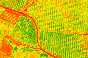
We calculate maps with different vegetation indices to enhance crop management, offering online tools for easy access to information from the field.
We work with both agricultural companies and businesses that outsource data capture or final product generation.

índices de vegetación
From satellite images or drone flights, we can generate different types of vegetation indices for precision agriculture.

data survey
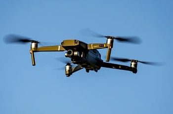
We conduct drone flights equipped with RGB and multispectral cameras to subsequently calculate vegetation indexes.

satélite
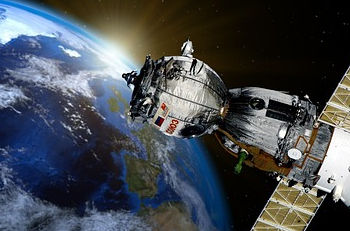
It’s also possible to access images captured by satellites for any area worldwide, providing lower-resolution but frequent updates every few days.