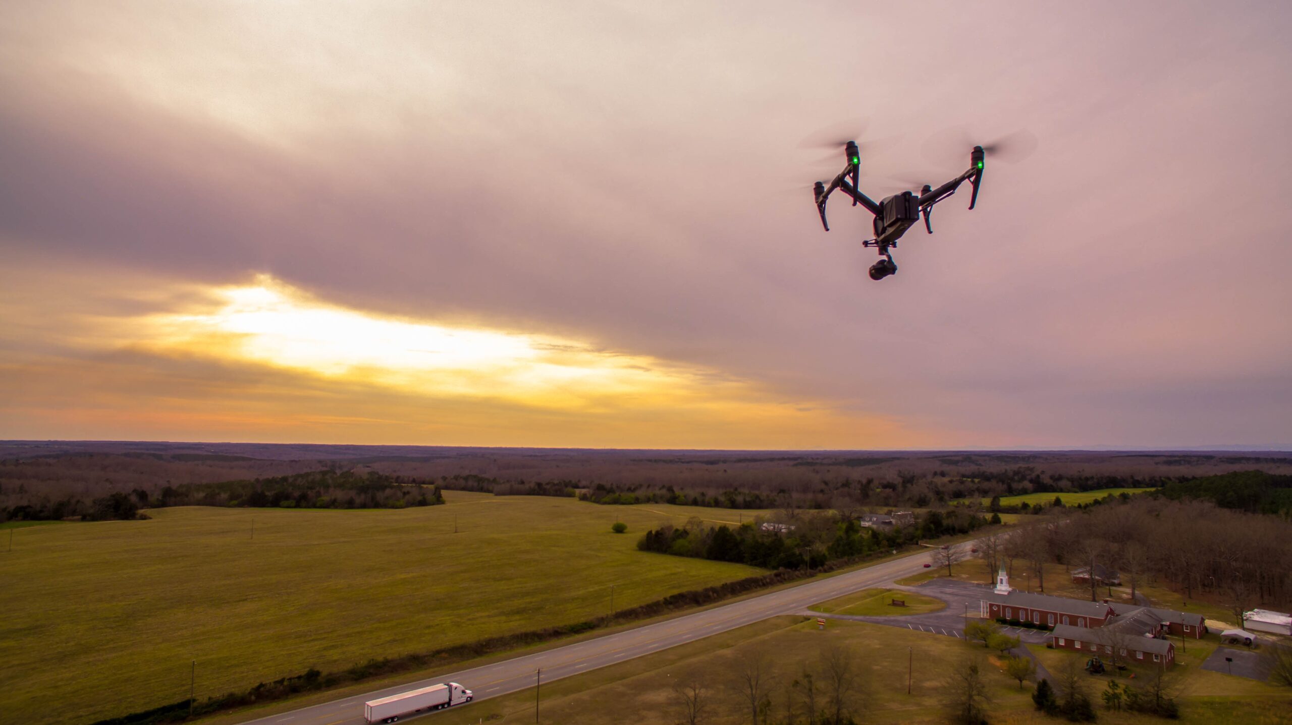
At Dielmo 3D, we are pleased to announce the addition of a new drone and sensor to our advanced services. Our expanded services now to include drone LiDAR data capture with the last LiDAR sensor from DJI, the DJI MATRICE 350 + Zenmuse L2, with 5 returns and the best accuracy and penetration in vegetation that can be archieved with a drone. We are one of the first companies to fly this sensor in Spain from 2024. This expansion enables us to offer comprehensive and customized solutions at highly competitive rates.
With more than two decades of experience in processing data clouds captured with airborne sensors, especially for flight companies, we have been responsible for generating final products from LiDAR data and photogrammetry. With the introduction of this new data capture service, we further elevate our capabilities by providing a complete service.

You can find more information about our services for survey and data processing in our home page.
